

Submitted by SafariADV on Wed, 2017-09-13
Planning an expedition is not easy, if in addition it is to Africa it is critical to study it in the slightest detail.
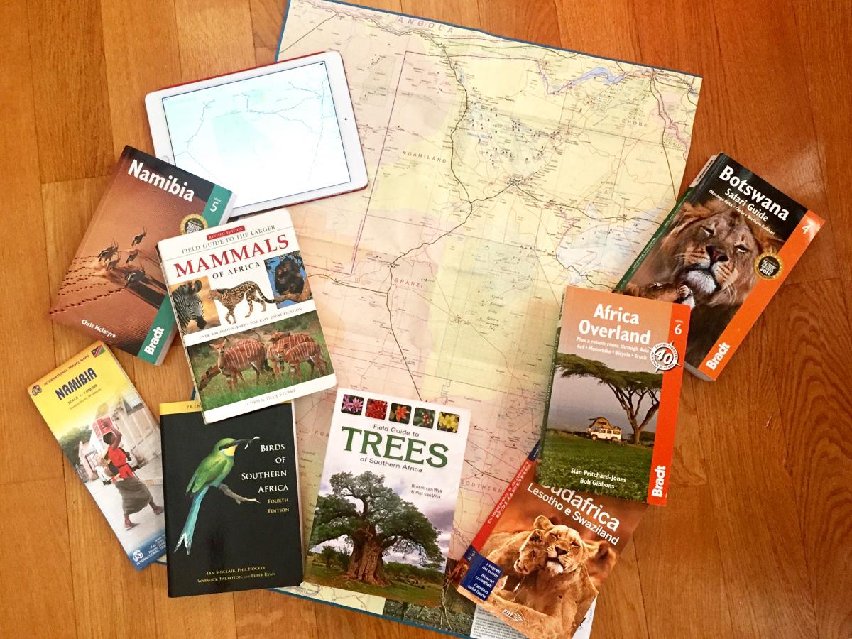
In the past few months we have bought the classic paper maps that normally in Europe seem so outdated, but in places without internet access, they become indispensable; moreover they are also very important in the planning of the itineraries, as they give an indication of the type of road and, therefore, help to understand the travel times.
We have studied different guides, not just the "classic" ones, but also some specialized on the African continent, that give more details about the roads, where to stay, where to look for supplies and so much more valuable information.
We read and wrote in several forums where many self-drive travelers exchange very useful tips and we also learned some rudiments of mechanics because, for much of the journey, we will be alone with our car.
The itinerary we have prepared is challenging but exciting: we will leave from Johannesburg and head North and cross the entire Kalahari basin: from the Botswana Pan to the Central Kalahari, to the Okavango Delta up to the Etosha National Park and the Skeleton Coast in Namibia, then down to South Africa at the Kgalagadi Transfrontier Park and get to Cape Town crossing the Namaqua, or Namakwa and Western Cape and finally through the Karoo return to Johannesburg.
We are looking forward to leave!